DroneView: Year in Review and 2022 Outlook
We begin 2022 optimistic - fueled by a robust pipeline, an awesome team, a growing customer base and positive business metrics across the board.
Yet, we all long for normalcy as we continue to face disruptions, both professionally as well as personally. Almost two years into a global pandemic that shows few signs of abating any time soon, we have all been forced to alter our traditional routines in ways never before imagined.
DroneView, like many organizations, has gone virtual, with work at home being the new norm and commuting to the office reserved for quarterly strategic planning sessions or other infrequent meetings.
Against this backdrop, we have enjoyed many silver linings. Our team likes working from home and eliminating hours of daily commutes. Productivity has increased. Associates are exercising more and are enjoying the flexibility they now have to spend increased quality time with their families. We expanded the geographic aperture for recruiting and have successfully onboarded several new associates who live hundreds of miles from our office. Something that we would not likely have considered in a pre-pandemic world.
Moreover, DroneView has continued to steadily grow, setting records in 2020 and again in 2021. We doubled the number of active customers, maintained our existing clients and increased revenues by over 80% during this period.
Our strengths continue to be refined. We’ve uncovered areas of increased opportunities in the geospatial space and have hired skilled resources to support this demand. In parallel, we’ve improved how we operate - steadily enhancing our internal systems, workflows and processes. We are working on bigger, more challenging projects and continue to deliver high accuracy geospatial products to our growing list of clients.
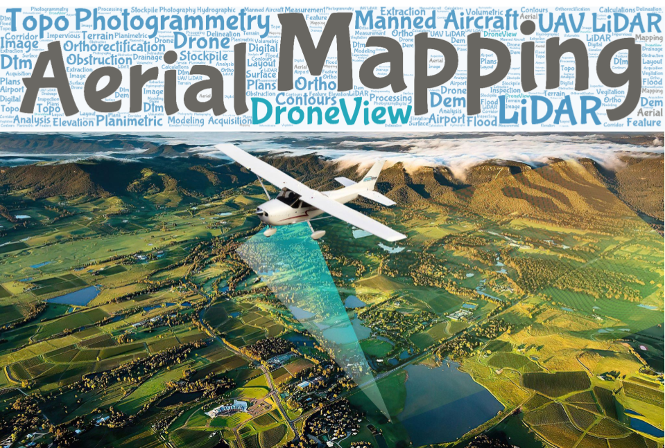
We are way more than “just drones”. The majority of our work utilizes manned aircraft equipped with million dollar imaging and LiDAR sensors. Yet, we are challenged with our “identity” as DroneView naturally draws an immediate association with drones. For those that know us, they understand our broadened capabilities. For those that we newly meet, or those that have forgotten, we must continually educate them that DroneView is more than Just Drones.
We are confident that the foundation we have built is strong and will allow for many years of continued growth and expansion, both organically as well as through strategic acquisitions.
Since our founding just seven years ago, DroneView has become a leading national aerial mapping and geospatial services company providing precision mapping solutions - aerial imagery & LiDAR from both manned aircraft & drones to survey/engineering firms and other enterprise customers throughout the United States.
With a seasoned team of ASPRS Certified Photogrammetrists, LiDAR professionals, CAD technicians, drone/UAV pilots and data analysts, DroneView both assists clients in acquiring and processing aerial image and LiDAR data as well as helps them derive tangible benefits from enhancements to a project's accuracy, budget, schedule and safety.
We continue to offer our gratitude and sincere thanks to the many people that have helped guide us on our journey. With clarity to our business and strength in our market leading team of professionals, we are extremely enthused by what lies ahead for DroneView Technologies in the upcoming year and beyond.
Our best wishes to all for a happy, healthy and prosperous New Year.
michael singer
Founder & CEO
DroneView Technologies