

Geospatial Products
DroneView offers our clients a wealth of geospatial products including, aerial triangulation, digital elevation and terrain modeling (DEM, DTM), orthophoto creation including color balancing and mosaicking. In addition, the company offers a wide range of planimetric feature collection services. These services are provided using data collected with aerial photos and/or LiDAR.
Flood mapping and analysis
Corridor mapping
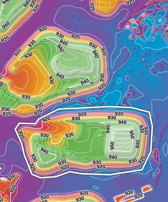
Contours
Flood and Drainage Mapping
Obstruction and Vegetation Mapping
Aerial Photography
Airport Obstruction Analysis
Airport Layout Plans
Topographic Mapping
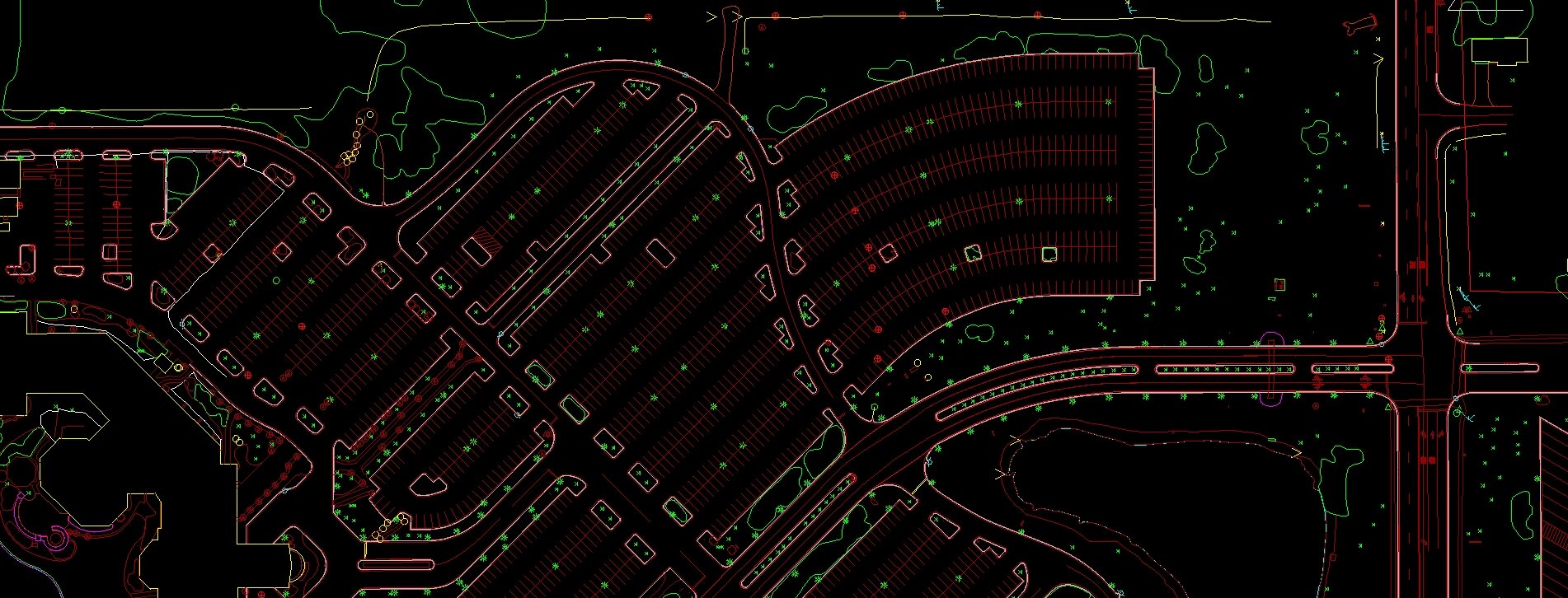
Planimetric Feature Extraction
OrthoImagery
Digital Terrain Modeling (DTM)
Digital Elevation Modeling (DEM)
Hydrographic Mapping
Impervious surface delineation
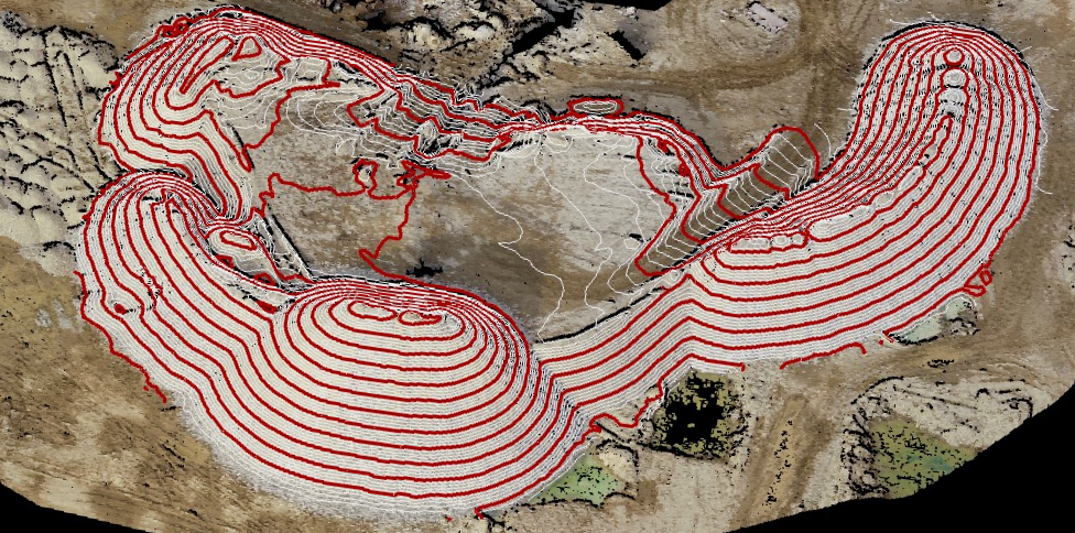
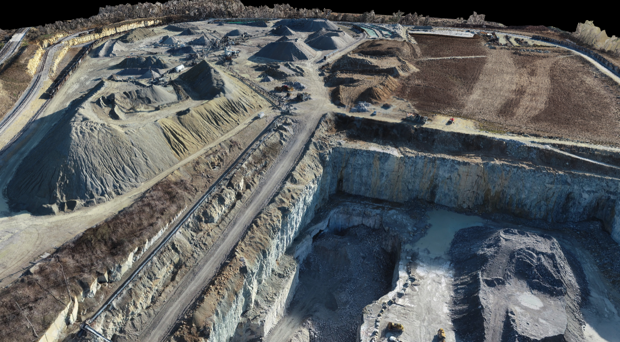
Stockpile Volume Measurement
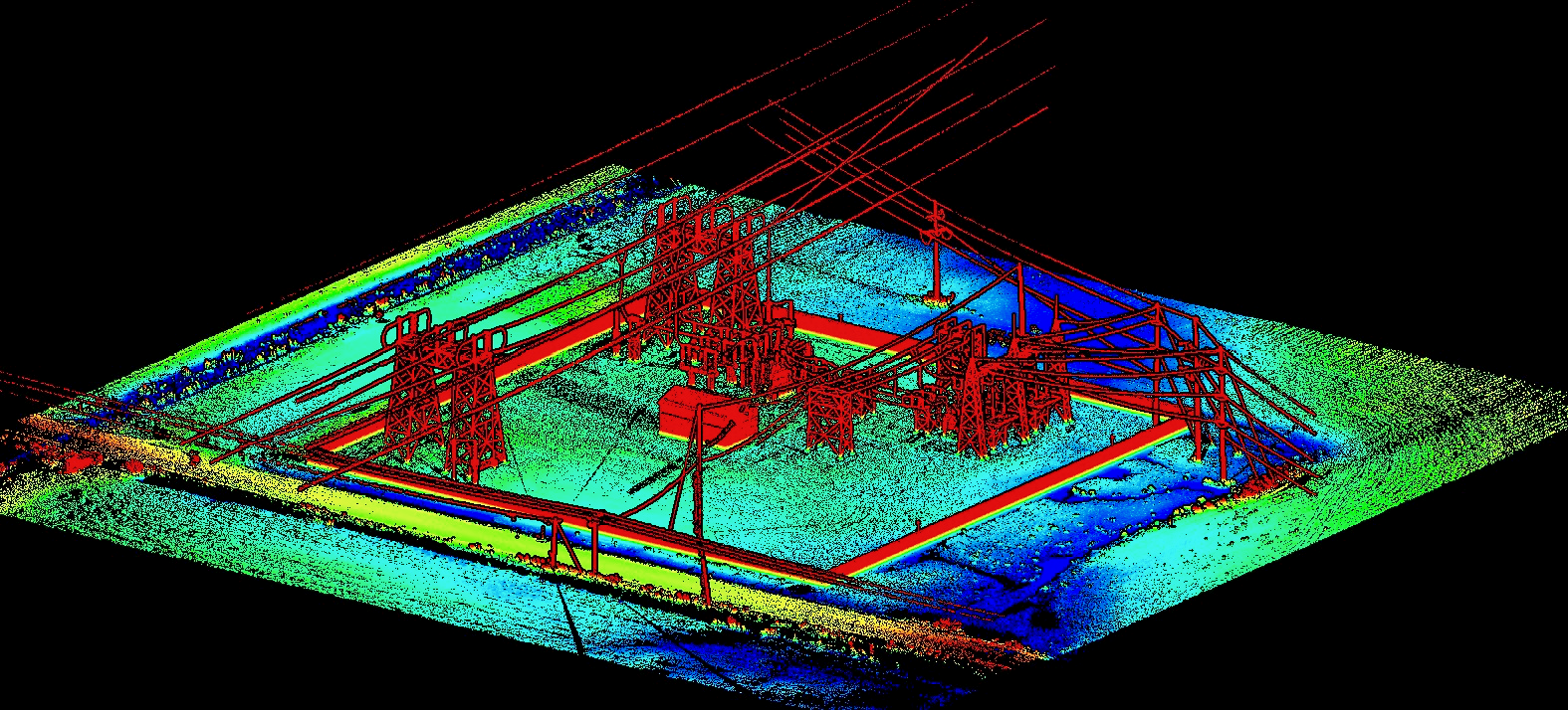
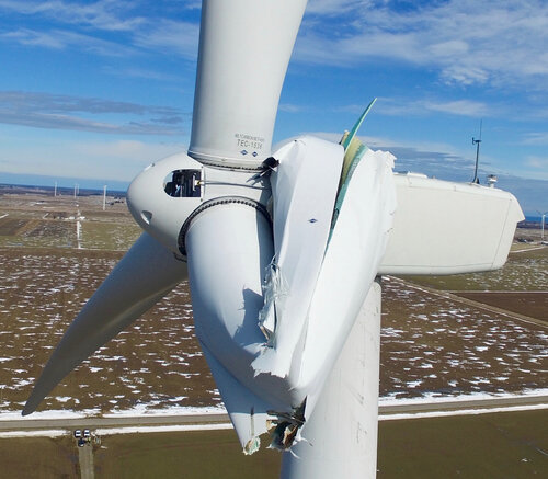
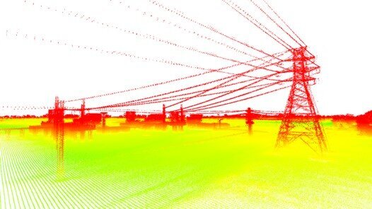
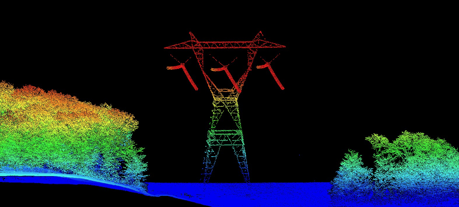
Asset Inspection