Geospatial Data Aquisition
Manned Aircraft Aerial Imagery and LiDAR Acquisition
For manned operations, DroneView utilizes a network of aerial imagery and LiDAR data acquisition partners. Working with a widely distributed set of partners helps DroneView maintain cost competitiveness by minimizing aircraft mobilization distances. Further we can select from a wide variety of sensors and acquire imagery/LiDAR for multiple projects simultaneously regardless of their location.
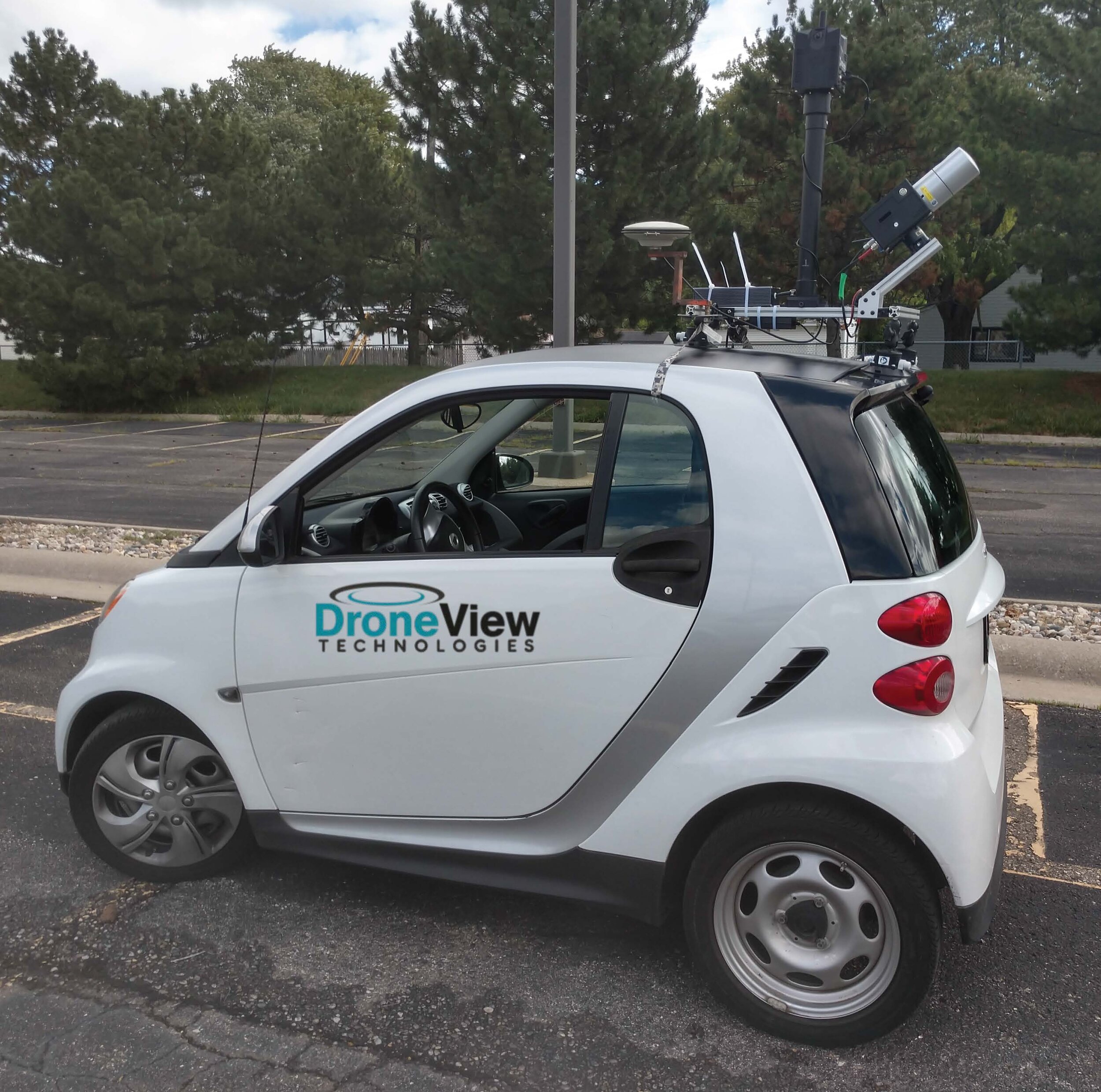
DRONE (UAV ) IMAGERY AND LIDAR ACQUISITION
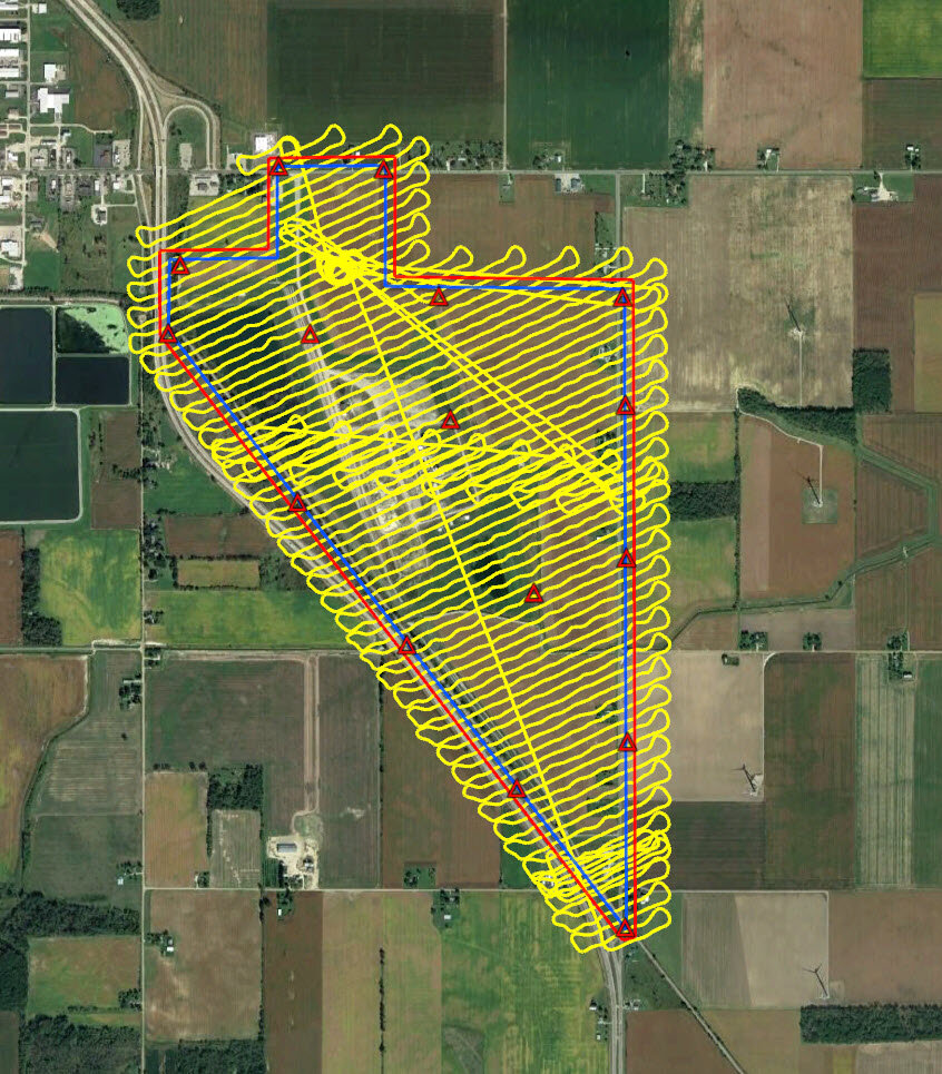
DroneView’s pilots utilize our fleet of RTK/PPK enabled fixed wing and multi rotor drones to produce high accuracy mapping products. When conditions dictate we utilize UAV LiDAR, most often with the Riegl miniVUX sensor.

Fixed wing drone with RTK

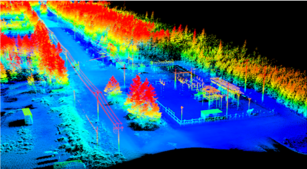
UAV LiDAR with Riegl miniVUX sensor