


Markets Served
DroneView is a full service aerial mapping and geospatial services company serving a broad array of end market customers - all who have a common interest in high accuracy mapping products. We utilize photogrammetry, LiDAR, and GIS to provide a wide range of products including: aerial imagery, feature data collection, digital terrain modeling, contours, TIN surfaces, orthophotography, LiDAR, and Geographic Information Services (GIS).
Surveying
Civil Engineering
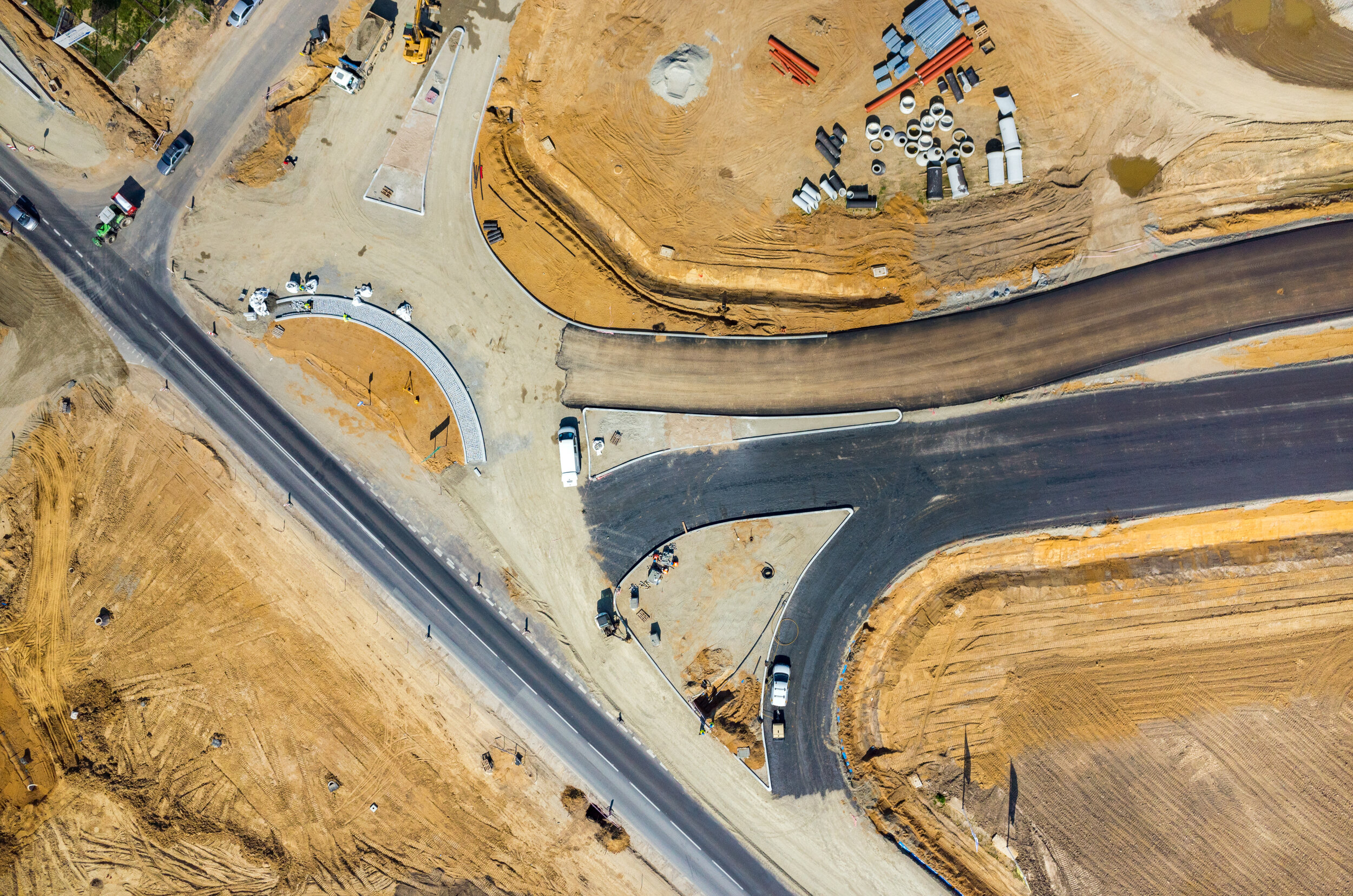
Departments of Transportation
Environment
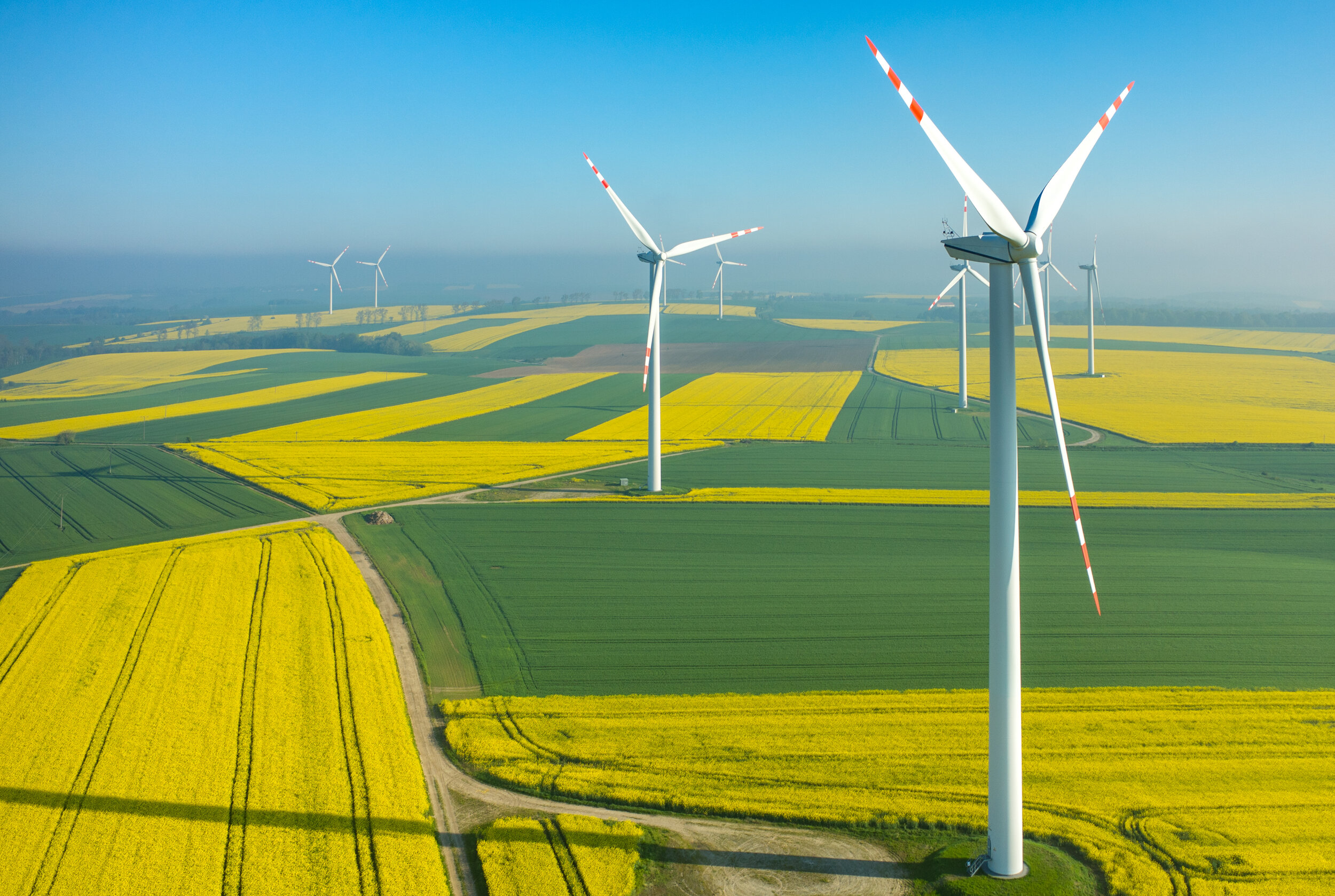
Renewable Energy
Coastal & Marine
Infrastructure
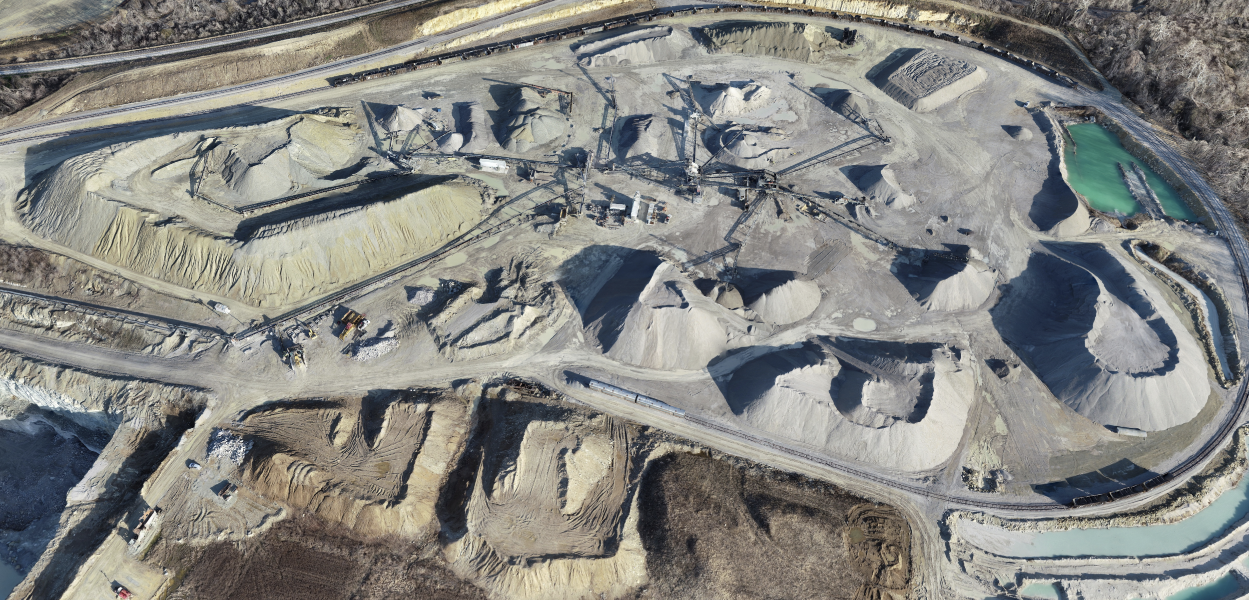
Mining
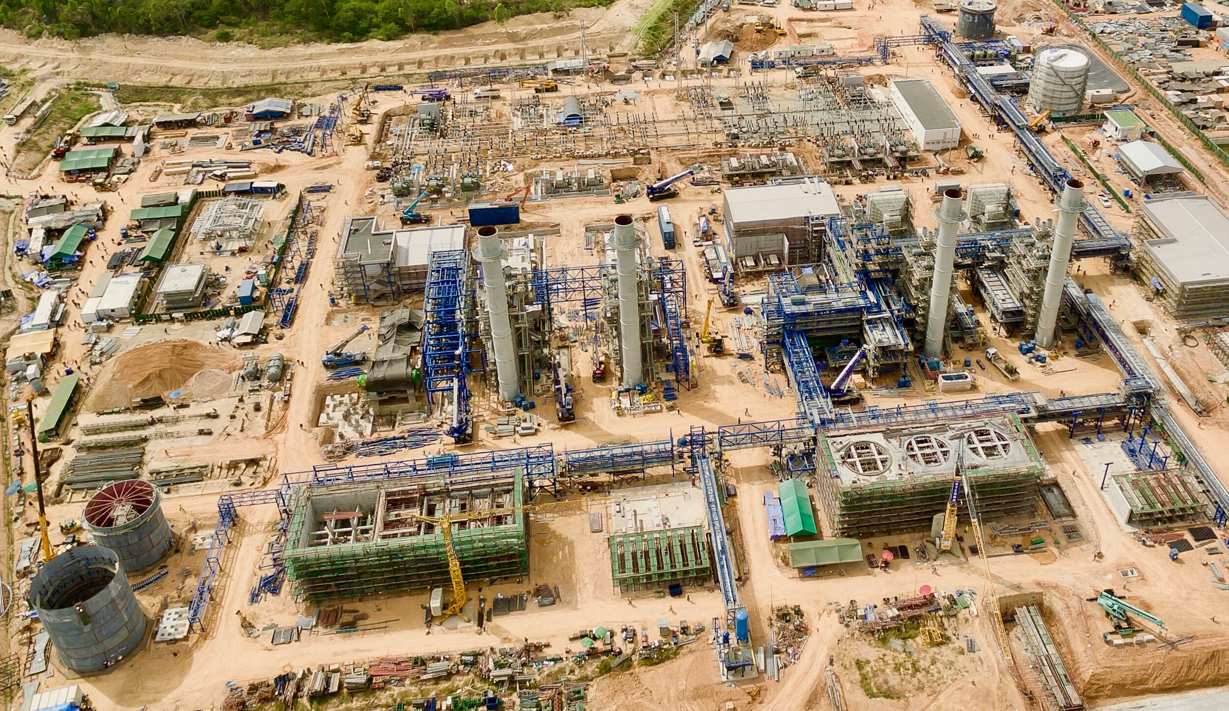
Oil & Gas
Power & Dams
Construction
Aggregates
Landfill & Waste
Utility Mapping
Power Transmission
Transportation
Airport FAA Services
Municipal and Countywide Mapping
Telecommunications
Solar
Pipeline
Real Estate Development
Utilities