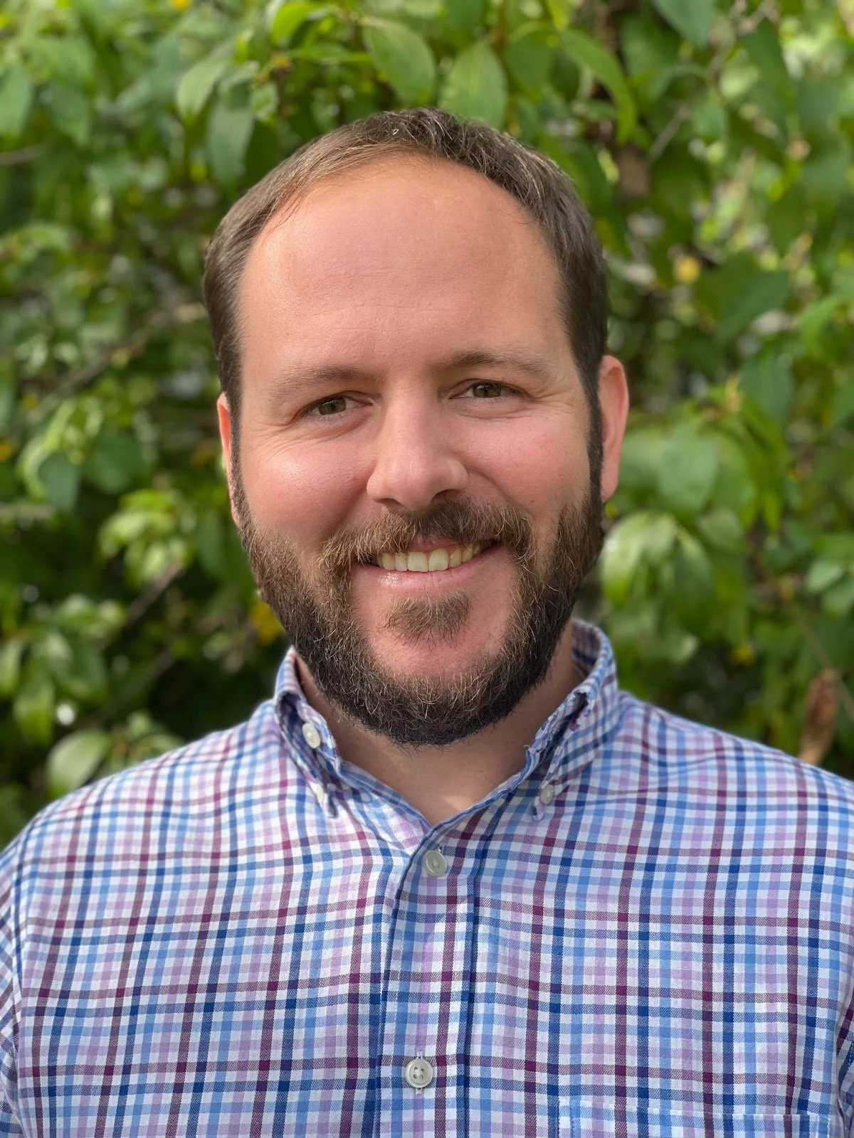
leadership team
MICHAEL SINGER
Founder and CEO
Michael founded DroneView in 2015 and has shaped DroneView's emergence into a leading aerial mapping and geospatial services company. Previously, Michael has run, grown, acquired and revitalized several private equity backed service and technology businesses and has led four of these companies through successful exits.
Michael is a native New Yorker, who relocated to Michigan in the late 1990s where he has raised his two children. Michael is schooled in accounting and finance (University of Pennsylvania – Wharton School and MBA from Columbia University).
JASON HEYWOOD
Certified Photogrammetrist – President
Jason has over 25 years experience providing aerial mapping services for clients throughout the United States. He has an understanding of client needs and business challenges and an ability to resolve complex issues through the application of geospatial technologies.
After graduating from Staffordshire University in England he completed his Masters Degree in Environmental Science at Eastern Michigan University and attended Ferris State University to specialize in photogrammetry.
Jason is an ASPRS Certified Photogrammetrist, Florida Professional Surveyor and Mapper, South Carolina Professional Photogrammetric Surveyor, Virginia Surveyor Photogrammetrist and is FAA IDLE Level III Certified.
PRINCE TETTEH
Mapping Production Manager
Prince has spent over 20 years in the geospatial world. Prior to joining DroneView Prince was at Rowe Professional Services Company/AirLand Surveys (Flint, MI) where he was responsible for Photogrammetric Processing, Project Management and Aerial Mapping.
Prince graduated from the University of Science and Technology in Ghana with a BSc. degree in Geodetic Engineering. He has been involved in and managed complex workflows that have benefited various clients including Departments of Transportation, Aggregate Companies and Engineering Companies.
MICHAEL CRAIN
Certified Photogrammetrist - Director of Geospatial Services
Michael has spent the past 32 years in aerial mapping and geospatial services. Michael spent the past 11 years heading the national drone program and photogrammetry departments for Westwood Professional Services in Overland Park, Kansas. He has flown and/or oversaw the flying of thousands of drone missions, providing LiDAR acquisition and processing, UAV training, photogrammetric processing of drone images and producing high accuracy topography maps and stockpile volumetric reports.
Michael received his Associates Degree in Photogrammetry from Ferris State University in Big Rapids, Michigan.
LUCAS WILSING
Director of Client Services
Lucas has spent over 10 years in aerial mapping and geospatial services. For the past seven years he was with Keystone Aerial Surveys, a Vexcel company, with responsibilities for LiDAR and image acquisition and processing, flight planning, project management as well as business development.
Prior to this he worked at Quantum Spatial, a NV5 company and AeroMetric. Lucas processed airborne GPS/IMU, calibrated, and classified LiDAR data sets and helped deliver high quality geospatial products (DEMs, DTMs, contours, and breaklines) to clients throughout the United States.
Lucas received his Bachelor of Science Degree from Upper Iowa University where he was a member of the school’s varsity baseball team.
Connie Krampf
Senior Geospatial Analyst
Connie, an ASPRS Certified Photogrammetrist, a Certified Mapping Specialist and a FAA drone pilot, has spent over 25 years in aerial mapping and geospatial services. Connie has held senior positions as Chief Photogrammetrist and Project Manager at many leading geospatial firms including: Quantum Spatial, Sewall, Timmons Group, Weston & Sampson and KCI Technologies.
Connie is a published author and a speaker on photogrammetry and LiDAR workflows used to create high accuracy mapping products. Throughout her career, Connie processed airborne GPS/IMU, stereo compiled imagery, calibrated, and classified LiDAR data sets and helped deliver high quality geospatial products (DEMs, DTMs, contours, breaklines, ortho imagery and planimetric mapping data) to clients throughout the United States.
Connie received her Bachelor of Science Degree in Civil Engineering specializing in Photogrammetry from a prominent university in China and her Master of Science Degree in Computer Science from the University of Illinois Springfield.


