LiDAR + Photogrammetry = the most high accuracy mapping products ever created - insights with Michael Crain
A utility mapping asset created with PLS-CADD
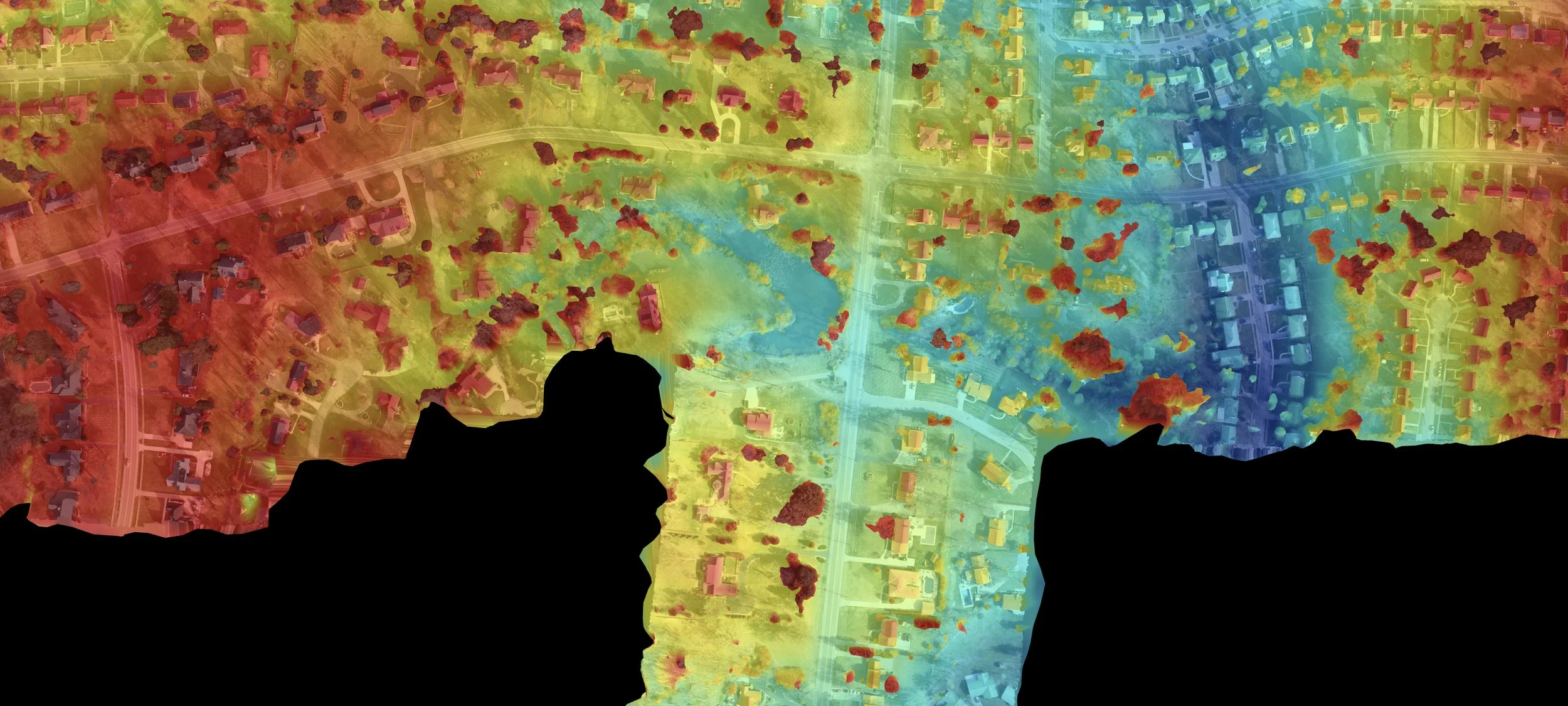
For many years, LiDAR vs. photogrammetry debates dominated talk at conferences, impacting the decisions made by surveyors and solutions providers. The evolution of aerial mapping and geospatial services, along with a shift from analog machines to LiDAR and drones, further impacted these conversations and compelled arguments about which was most suitable for projects of varying scope and size.
Michael Crain saw those discussions firsthand, which helped him define an approach that integrated LiDAR and photogrammetry to deliver customized, high-quality mapping products. It’s an approach that many recognized as being essential since the “vs” nature of these discussions was always missing the point. Delivering customized assets like contour maps and terrain maps was all that ever mattered, and those assets were based on data validation and scheduling that met project needs.
Crain has taken this approach to the next level in his current role as Director of Geospatial Services at DroneView Technologies. This approach has not only opened new opportunities within established aerial mapping and surveying projects but has also expanded into PLS-CADD by providing highly accurate and detailed data that significantly improves powerline infrastructure design, analysis, and maintenance. All of these opportunities are about an approach to data validation and quality assurance that transcends the specific capture tools needed for each project.
The right tools for the right projects
As a certified photogrammetrist, Crain has been in the industry for a long time. He began with analog machines but made the shift to digital as the technology started to evolve. He was also part of an even bigger shift when LiDAR and drones began to be widely available. His photogrammetry background has proven to be invaluable as part of projects for clients in the private, municipal, state and federal sectors, many of which have utilized both LiDAR and photogrammetry asset along with orthoImagery.
“The big change for me was how LiDAR and photogrammetry could be thought of as two different ways to create an asset,” Crain explained. “With photogrammetry, you're taking the imagery and creating a map from the imagery. With LiDAR, you’re pulling that mapping info out of something much larger so it’s a different way to think about the eventual map and asset that you need.”

Michael Crain alongside an example of one of the many types of products delivered by the DroneView Technologies team.
Crain mentioned the preference to utilize LiDAR as the technology improved, but drones completely changed how surveyors were thinking about photogrammetry. Drones allowed them to fly smaller sites, and the quality of the imagery was striking, all of which created new opportunities with hydrographic mapping and topographic mapping. However, the limitations of both approaches needed to be recognized.
Some clients may have unrealistic expectations, believing that LiDAR can penetrate any vegetation, regardless of the season. Educating clients about these limitations, such as seasonal variations in data accuracy, is crucial. By effectively managing client expectations and focusing on delivering customized, high-accuracy mapping products, Crain is working to ensure successful project outcomes.
“It’s all about sorting out the best tool for your project,” Crain said. “We're not going to fly 5,000 acres with a drone. Aircraft is a better approach for those sorts of large sites. We can do photogrammetry and save you some money, but sometimes it makes sense to use LiDAR in tandem. We're committed to sorting out the best solution for their specific needs.”
Crain mentioned a recent project where a client wanted to fly a 2,000 acre site with a drone, and he had to tell them that a manned aircraft was going to be a better way to capture that info. He noted that while using a drone was technically possible, it wouldn't be the most efficient approach. The effort that would be required could turn it into a project that would take the entire week, whereas DroneView could fly it in two hours with a manned aircraft and have all the necessary data.
That variety and scope speaks to the types of organizations that DroneView is working with, which are primarily engineering firms for design purposes. They’re either building wind farms, solar farms, pipelines, battery storage, or transmission lines. Recently though, DroneView Technologies has expanded its services to include utility work with PLS-CADD, leveraging a three-pronged value proposition that has been able to elevate the quality and efficiency of these engineering projects.
Quality Products, Scheduling Flexibility and Essential Education
Surveyors and engineers demand highly accurate data, and that type of data is a fundamental component of DroneView Technologies' value proposition. Additionally, flexibility around scheduling in terms of when and how data is captured and delivered is possible thanks to their trusted network of aerial imagery and LiDAR data acquisition partners. Finally, internal experts provide valuable feedback and education to help DroneView Technologies' clients make informed decisions for both short-term and long-term projects.
“Each project is an individual, customized mapping product,” Crain explained. “We're delivering high accuracy, large scale mapping for design purposes that have the quality someone needs, based on the time that makes sense for them, and fits expectations that we can outline. The details are always going to vary, but they’ll always be based on what makes sense for the project, rather than something that we’re familiar with or is driven by timing and details that make sense for us.”
A few examples of how those details can change or be interpreted are related to flying in February when leaves are off versus July when they aren’t. Does it make sense to wait? Those details are part of the education that enables the delivery of a better mapping product depending on the need. They’re the types of specifics that Crain works through with clients and potential clients.
“It comes down to having a conversation about what someone wants to do, which we can talk about in terms of not only what’s possible, but what’s going to be best for the project,” said Crain. “We can fly just about any time someone wants to fly, but the accuracy is going to be impacted by that timing. Is there ground vegetation at the time? That’s going to impact whether or not the LiDAR sensor is going to get really solid ground data captured.”
That variety is realized not just in terms of scope but also location, as DroneView Technologies supports projects all across the United States. This data is creating options for clients, and PLS-CADD is a big part of those new opportunities. It’s part of a process to relay information about how they can make the best choices for their products.
That process involved a specific approach to integrating photogrammetry and LiDAR onto drones to create mapping products that enable real value. While other companies offer similar services, DroneView Technologies distinguishes itself by providing a more comprehensive and in-depth approach. However, there’s something much more fundamental that makes the high accuracy mapping and geospatial solutions that Droneview Technologies provides distinct from the competition.
“Not only being a certified photogrammetrist, but having that expertise in-house makes a difference,” Crain said. “I love LiDAR and I love what I do, and I want that to be reflected in all of the work I put together.”
Have a question for Michael? Get in touch with the DroneView team or connect with him on LinkedIn to ask.